
Located in southern Italy between the Apennine mountains and the Ionian and Tyrrhenian coasts, the Basilicata Living Space brings together forests, pastures and highly productive agricultural valleys. With half of the region covered by farmland and more than a third by forests, Basilicata offers an ideal landscape for exploring how climate-neutral land management, rural development and nature conservation can be aligned within LandShift’s European network.
A Region Defined by Contrasting Landscapes
Basilicata’s land use reflects its geography: mountainous uplands shaped by forests and pastures, and fertile valleys dominated by cereals, olives, vineyards and orchards. This mosaic creates a landscape where marginal rural areas coexist with productive agricultural zones and large protected areas. The region’s terrain and ecological diversity make it particularly sensitive to climate variability, land degradation and shifting rural livelihoods.

Environmental Challenges and Local Needs
Basilicata faces significant exposure to land degradation and desertification, with around half of its territory classified as vulnerable. Soil erosion, badlands and vegetation decline are especially prevalent in the drier central-eastern areas. At the same time, land abandonment, climate variability and increasingly frequent extreme events pose risks to agricultural productivity, forest health and the resilience of rural communities. These pressures highlight the need for tools and strategies that can strengthen long-term ecological and economic sustainability.
How LandShift Is Helping
LandShift combines Earth Observation data, AI-based modelling and regional Data Cubes to map current and future land dynamics, carbon removals and biogenic emissions.
This evidence helps co-design regional strategies aligned with New European Bauhaus values, including:
-
sustainable forest management,
-
soil and water conservation measures,
-
landscape restoration, and
-
climate-smart agricultural practices.
By integrating scientific insights with local perspectives, the Living Space aims to inform future land-use decisions and support climate adaptation across the region.

Community Involvement and Collaboration

Through policy and community labs, the Living Space involves local authorities, farmers, foresters, researchers, businesses and citizens in defining challenges and testing solutions. A crowdsourcing app and participatory workshops allow residents to contribute observations on land-use change, biodiversity and soil conditions, ensuring that local knowledge complements scientific analysis.
One of the most rewarding aspects so far has been witnessing previously separate communities — researchers, farmers, foresters and local authorities — recognising shared interests in climate-resilient land management. Early discussions have shown how combining satellite data with hands-on experience creates space for constructive dialogue.
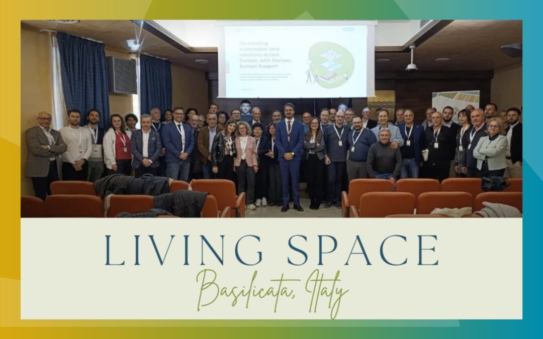
A Wide Network of Regional Actors
The Italian Living Space is co-led by the Basilicata Region’s Department of Agricultural, Food and Forestry Policies and the University of Basilicata (UNIBAS), with support from Politecnico di Milano (POLIMI). The initiative engages farmers’ organisations, forest authorities, park managers, NGOs and local communities, forming a multi-actor platform that connects science, policy and practice in regional land-use decisions.
Vision and Next Steps
The next phase of the Living Space will focus on co-designing a regional roadmap that links long-term scenarios with practical measures, including soil and water conservation in vulnerable catchments, climate-smart forestry and agroecological practices. This roadmap will feed into regional strategies and serve as a reference for similar Mediterranean and mountainous areas across Europe.
PRESS CONTACT
For more information, press materials, or interview requests, please contact:
Nikolaos Sotiriou
Dissemination & Communication Manager,
White Research